

The Makgadikgadi Pans are among Botswana’s most spectacular landscapes. This vast expanse of salt flats ranks among the largest in the world. Though less famous than the Okavango Delta, they form a unique and impressive region, characterized by endless white plains stretching to the horizon.
These salt pans are the remnants of an ancient prehistoric lake that once covered much of northeastern Botswana. Over time, climate change caused the lake to gradually dry up, leaving behind this stark, almost lunar landscape. Today, the Makgadikgadi Pans offer a particularly striking scenery, especially during the dry season.
Geographical Location of the Makgadikgadi Pans
The Makgadikgadi Pans are located in northeastern Botswana, primarily in the region between the towns of Nata, Gweta, and Maun. They consist of several large salt flats, the most famous being Sua Pan and Ntwetwe Pan.
During the rainy season, parts of the pans can fill with a thin layer of water, attracting numerous animals and migratory birds. Most notably, large flocks of flamingos gather in these temporary wetlands.
The region is also home to the Makgadikgadi Pans National Park, a protected area that preserves a significant portion of this unique ecosystem.
Getting to the Makgadikgadi Pans
From Gaborone
If traveling from Botswana’s capital, Gaborone, take the A1 highway north toward Francistown. After several hundred kilometers, you’ll reach Nata, one of the main access points to the Makgadikgadi Pans. From there, various roads lead to the salt flats and surrounding reserves.
From Maun
If coming from Maun, the gateway to the Okavango Delta, take the A3 east toward Gweta, then continue to Nata. This route crosses the characteristic landscapes of the Makgadikgadi Pans, offering a preview of the region’s unique scenery.
From Francistown
From Francistown, take the A3 southwest toward Nata. This route is relatively short and provides direct access to the salt pans.
Places to Visit in the Makgadikgadi Pans
Makgadikgadi Pans National Park
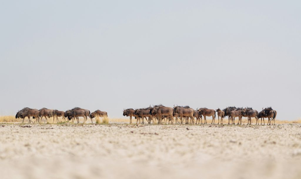
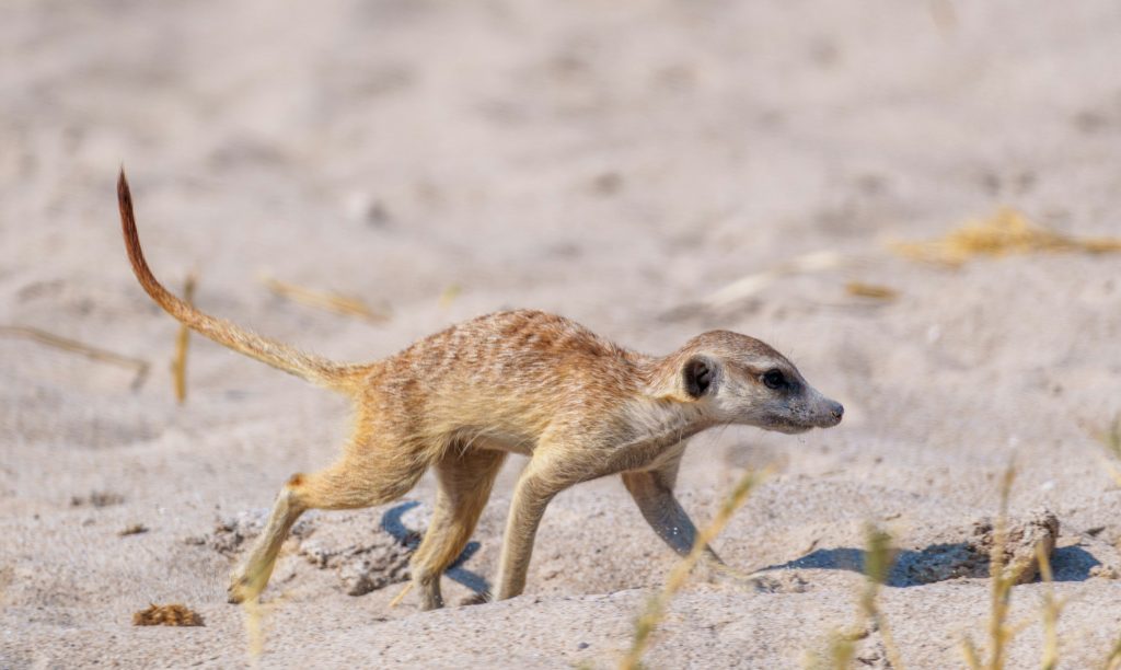
Makgadikgadi Pans National Park protects a significant portion of the region’s natural landscapes. The park is home to several animal species adapted to this semi-desert environment, including zebras, antelopes, jackals, and hyenas.
During the rainy season, one of southern Africa’s most spectacular animal migrations takes place here: thousands of zebras cross the region in search of fresh grass.
Nata Bird Sanctuary
The Nata Bird Sanctuary is a nature reserve near Nata, on the edge of Sua Pan. It is particularly renowned for birdwatching.
At certain times of the year, thousands of flamingos and pelicans gather here to feed and breed. Visitors can observe these birds from several viewpoints around the reserve.
Gweta
The village of Gweta is often considered the western gateway to the Makgadikgadi Pans. Located on the road between Maun and Nata, it is a popular stopover for travelers.
The area around Gweta is also known for its ancient baobab trees, including the famous Baines Baobabs, a group of iconic trees standing on the edge of the salt pan.
With their unique landscapes, fascinating geological history, and seasonal wildlife diversity, the Makgadikgadi Pans are an exceptional destination in Botswana. They offer a completely different experience from the Okavango Delta or Chobe National Park: open, silent expanses that showcase the vastness of the African landscape.
If you see this after your page is loaded completely, leafletJS files are missing.